ID · Pacific Northwest
Sawtooth NF & Stanley Basin
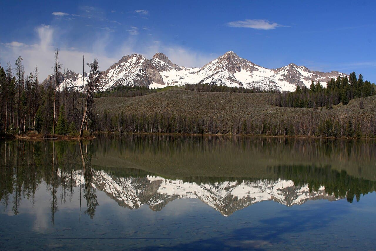
Idaho's most spectacular wilderness: mountains that look like the Tetons or Dolomites but with zero crowds. The Sawtooth Range has peaks topping 10,000 ft, 40+ alpine lakes, and 2.1 million acres of national forest with free dispersed camping throughout. Stanley Basin is a high-altitude valley surrounded on all sides by jagged granite peaks. This is the most underrated mountain destination in the US.
- Mountains this dramatic with this few people don't exist anywhere else in the lower 48
- Free dispersed camping in the forest surrounding Sawtooth Wilderness
- Boise is only 2.5 hours, accessible as a weekend or multi-day trip
- Cold, clear mountain water in every stream and lake, most drinkable with filter
- Stanley is a real cowboy mountain town: 60 people, excellent food
Free camping near Sawtooth NF & Stanley Basin
Sawtooth NF: Fourth of July Creek Road Dispersed
Sawtooth National Forest (Sawtooth Ranger District)
Free dispersed camping along Fourth of July Creek Road with direct views of the Sawtooth Range. Creek access, stunning morning light on the peaks. The classic Sawtooth camping experience at zero cost.
How to get there
From Stanley ID, take ID-75 south about 8 miles, then turn west on FS-208 (Fourth of July Creek Road). Dispersed camping begins within the NF boundary.
Sawtooth NF: Valley Creek Dispersed (Stanley Basin)
Sawtooth National Forest
Free dispersed camping in the Stanley Basin flats with 360° peak views. Valley Creek runs nearby. The most accessible free camping in the entire Sawtooth area, 2-wheel drive accessible.
How to get there
From Stanley ID, head west on ID-21. Valley Creek dispersed camping areas are marked along the highway within the national forest boundary.
Dispersed camping ground rules
- Usually a 14-night limit in one area, then you move on
- Camp at least 200 ft from water, trails and roads
- Pack out all trash. Leave no trace.
- Check local fire restrictions before building a campfire
- No potable water: bring or filter everything you drink
Rules vary by forest and BLM field office, so check with the local ranger district or field office before you go.
Find more free spots
Get an app like iOverlander to find places to camp on public land for free in the states. Other campers post what's there, how rough the road is and whether a ranger moved them on.
- iOverlander (opens in a new tab)Free. Campsites reported by other travelers, with recent notes on access, signal and rangers.
- Campendium (opens in a new tab)Free to browse. A map of free campsites across the US, much of it on public land, with reviews.
Spots change. Read the newest reports and any posted rules before you set up, and pack out everything you bring in.
When to go
- January
- February
- March
- April
- May
- June
- July: best month
- August: best month
- September: best month
- October
- November
- December
WanderRank Scores
Daily Cost
$15 to $50
per day (food + transit)
Free camping available
Plus gas for the drive
Recommended Stay
3 to 7
days · hard difficulty
Drive time from your airport
Avoid if
- You hate mountain driving, the access roads are steep and winding
- July/August brings heavy smoke from regional fires in some years
- You need warm-weather swimming, even August nights drop below 40°F