CO · Mountain West
San Juan Mountains & Rio Grande NF
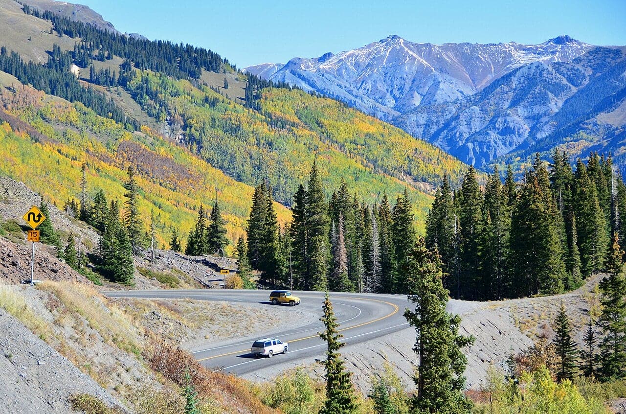
More than a dozen fourteeners, the Million Dollar Highway, and old mining towns like Silverton and Ouray, with free dispersed camping in the forests.
- More than a dozen fourteeners packed into one range
- Free dispersed camping throughout both national forests, including high alpine spots
- ABQ is 3.5 hours, DEN is 5 hours, so it's accessible from a large region
- The San Juans look like the Swiss Alps with the populations of Montana
- Mining-era history is real and visible, not sanitized tourist history
Free camping near San Juan Mountains & Rio Grande NF
Rio Grande NF: Embargo Creek / South Fork Area Dispersed
Rio Grande National Forest (Divide Ranger District)
Free dispersed camping along multiple forest roads south and west of South Fork CO. Open meadows and aspen groves at 8,000-9,000 ft elevation. Access to several fourteener approach trails. Beautiful fall color in late September.
How to get there
From South Fork CO, take US-160 west then turn north on FS roads. FS-380, FS-390 series roads offer multiple dispersed camping spots. Well-marked in the national forest.
San Juan NF: Engineer Mountain / Molas Pass Dispersed
San Juan National Forest (Columbine Ranger District)
Free dispersed camping near Molas Pass at 11,000+ ft elevation with dramatic San Juan peak views. Alpine meadows, high-altitude wildflowers in July. This is as close to the Weminuche Wilderness as you can drive.
How to get there
From Silverton CO, take US-550 north toward Molas Pass. Multiple FS roads branch off on either side with dispersed camping. Look for pullouts with mountain views.
Dispersed camping ground rules
- Usually a 14-night limit in one area, then you move on
- Camp at least 200 ft from water, trails and roads
- Pack out all trash. Leave no trace.
- Check local fire restrictions before building a campfire
- No potable water: bring or filter everything you drink
Rules vary by forest and BLM field office, so check with the local ranger district or field office before you go.
Find more free spots
Get an app like iOverlander to find places to camp on public land for free in the states. Other campers post what's there, how rough the road is and whether a ranger moved them on.
- iOverlander (opens in a new tab)Free. Campsites reported by other travelers, with recent notes on access, signal and rangers.
- Campendium (opens in a new tab)Free to browse. A map of free campsites across the US, much of it on public land, with reviews.
Spots change. Read the newest reports and any posted rules before you set up, and pack out everything you bring in.
When to go
- January
- February
- March
- April
- May
- June
- July: best month
- August: best month
- September: best month
- October
- November
- December
WanderRank Scores
Daily Cost
$15 to $60
per day (food + transit)
Free camping available
Plus gas for the drive
Recommended Stay
3 to 7
days · hard difficulty
Drive time from your airport
Avoid if
- Altitude sickness is real here. Base elevation is 8,000-9,000 ft
- July/August afternoon thunderstorms are dangerous above treeline
- Million Dollar Highway has no guardrails, so vertigo sufferers should avoid