NC · Southeast
Pisgah National Forest
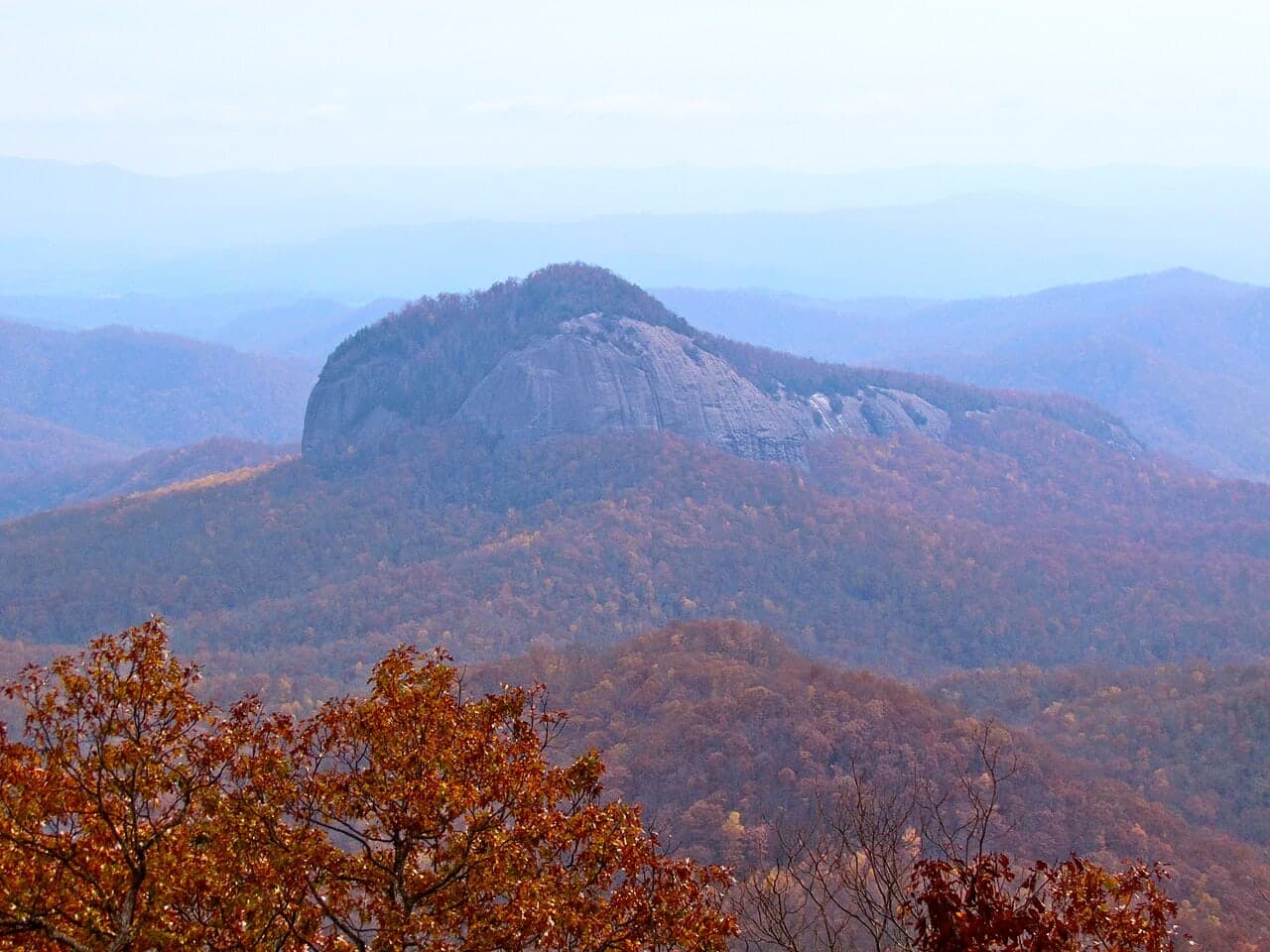
North Carolina's adventure playground tucked against the Blue Ridge. Sliding Rock natural waterslide, Black Balsam Bald's open ridgeline, and more waterfalls than you can count. Free dispersed camping throughout. Adventure density rivals destinations 10x more expensive.
- Free dispersed camping: pull off any forest road and camp for free, legally
- Sliding Rock has been a natural waterslide attraction since the 1920s
- Some of the best waterfall density in the Eastern US: Bridal Veil, Moore Cove, Twin Falls
- Asheville is 30 minutes away if you need a food or culture break
- Art Loeb Trail is a legitimate multi-day backcountry experience without crowds
Free camping near Pisgah National Forest
Pisgah NF: Pink Beds / South Mills River Dispersed
Pisgah National Forest (Pisgah Ranger District)
Prime dispersed camping in the heart of Pisgah. Rolling meadows, multiple creek crossings, old-growth forest nearby. This is the classic Pisgah dispersed experience, so pick your spot along FS-476.
How to get there
From US-276 north of Brevard, turn onto FS-476 (Pink Beds Loop Road). Dispersed camping scattered throughout. Stay minimum 300 ft from water.
Pisgah NF: Shining Rock Wilderness Trailhead Area
Pisgah National Forest
Camp near the Shining Rock / Black Balsam trailhead area. No campfire permits required in the wilderness itself. Dramatic high-altitude camping at 5,800+ ft with sweeping balds.
How to get there
From BRP milepost 420 (Rough Ridge parking), head down Art Loeb Trail or park at Black Balsam Knob trailhead on FS-816.
Pisgah NF: Laurel Creek / Wash Creek Dispersed
Pisgah National Forest
Flat, riverside dispersed camping along Laurel Creek Road. Easy access, creek swimming holes, multiple sites. Best free camping closest to Asheville (35 min).
How to get there
From US-276 south of Cruso, turn onto Laurel Creek Road (FS-1206). Multiple dispersed pullouts along the first 4 miles.
Dispersed camping ground rules
- Usually a 14-night limit in one area, then you move on
- Camp at least 200 ft from water, trails and roads
- Pack out all trash. Leave no trace.
- Check local fire restrictions before building a campfire
- No potable water: bring or filter everything you drink
Rules vary by forest and BLM field office, so check with the local ranger district or field office before you go.
Find more free spots
Get an app like iOverlander to find places to camp on public land for free in the states. Other campers post what's there, how rough the road is and whether a ranger moved them on.
- iOverlander (opens in a new tab)Free. Campsites reported by other travelers, with recent notes on access, signal and rangers.
- Campendium (opens in a new tab)Free to browse. A map of free campsites across the US, much of it on public land, with reviews.
Spots change. Read the newest reports and any posted rules before you set up, and pack out everything you bring in.
When to go
- January: month to skip
- February: month to skip
- March
- April
- May: best month
- June: best month
- July
- August
- September: best month
- October: best month
- November
- December
WanderRank Scores
Daily Cost
$10 to $45
per day (food + transit)
Campsites: $15/night
or free on nearby public land
Plus gas for the drive
Recommended Stay
2 to 5
days · moderate difficulty
Drive time from your airport
Avoid if
- You need reservations. Dispersed camping is first-come but developed sites book fast in summer
- Sliding Rock feels too touristy, it can get crowded on summer weekends