AR · South-Central
Ozark National Forest & Buffalo River
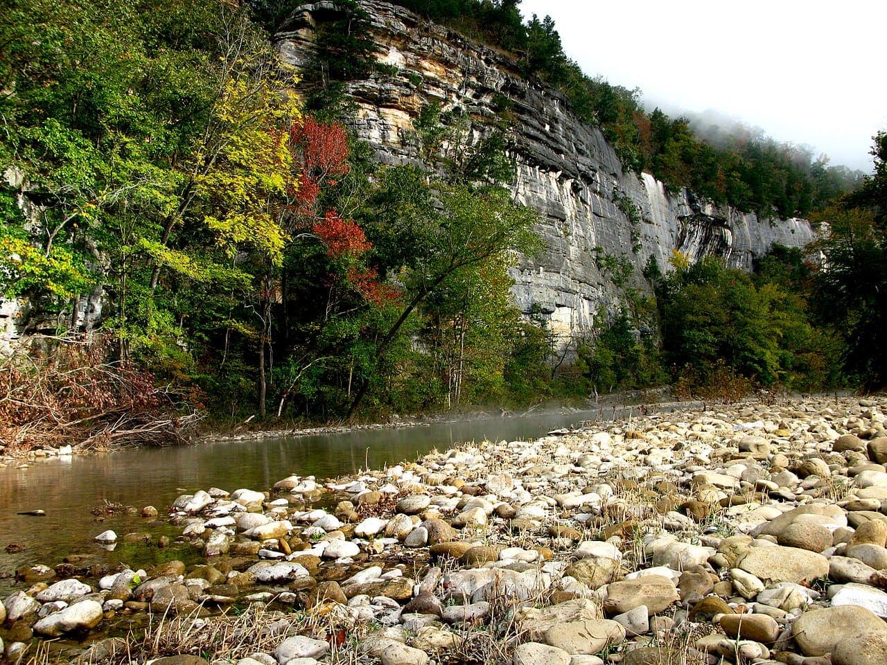
The most underrated wilderness in the South. America's first national river, the Buffalo, runs clear and cold through 500-ft bluffs. Free dispersed camping on Ozark National Forest lands. Floating the Buffalo by canoe is the Southeast's best river trip.
- Free dispersed camping on Ozark NF lands, the best free outdoor value in the South
- The Buffalo River is genuinely pristine: federally protected, no dams
- Hemmed-in Hollow waterfall requires 6-mile hike but is completely worth it
- Almost no one goes here. Trails are empty compared to Appalachian or Rockies alternatives
- Whitaker Point photo is one of the most shared in the Southeast
Free camping near Ozark National Forest & Buffalo River
Ozark NF: Richland Creek Dispersed Area
Ozark National Forest (Bayou Ranger District)
Free dispersed camping along crystal-clear Richland Creek, one of the most beautiful wild streams in Arkansas. Swim holes, cliff jumping spots, trout fishing. Access to 15-mile Richland Creek loop trail.
How to get there
From Pelsor AR on AR-16, take FS-1205 south toward Richland Creek. Dispersed camping along the creek road. The campground itself is free.
Ozark NF: Long Pool Recreation Area
Ozark National Forest (Sylamore Ranger District)
Free primitive camping at Long Pool on the Big Piney Creek. One of the clearest streams in Arkansas, with incredible emerald green swimming holes. Very few visitors despite being spectacular.
How to get there
From Hector AR, take AR-123 south, then turn on FS road toward Long Pool. The recreation area has primitive sites, vault toilet, no fee.
Buffalo National River: Steel Creek Campground
Buffalo National River (NPS)
Free primitive campground at one of the most scenic river bends on the Buffalo. 500-ft limestone bluffs tower above. No fee at Steel Creek. Canoe launch, great swimming, bouldering on the bluffs.
How to get there
From Boxley AR, take AR-43 north to Steel Creek Road. Campground is at the river. No reservations, first come first served, free.
Dispersed camping ground rules
- Usually a 14-night limit in one area, then you move on
- Camp at least 200 ft from water, trails and roads
- Pack out all trash. Leave no trace.
- Check local fire restrictions before building a campfire
- No potable water: bring or filter everything you drink
Rules vary by forest and BLM field office, so check with the local ranger district or field office before you go.
Find more free spots
Get an app like iOverlander to find places to camp on public land for free in the states. Other campers post what's there, how rough the road is and whether a ranger moved them on.
- iOverlander (opens in a new tab)Free. Campsites reported by other travelers, with recent notes on access, signal and rangers.
- Campendium (opens in a new tab)Free to browse. A map of free campsites across the US, much of it on public land, with reviews.
Spots change. Read the newest reports and any posted rules before you set up, and pack out everything you bring in.
When to go
- January
- February
- March
- April: best month
- May: best month
- June: month to skip
- July: month to skip
- August: month to skip
- September: best month
- October: best month
- November
- December
WanderRank Scores
Daily Cost
$10 to $40
per day (food + transit)
Campsites: $10/night
or free on nearby public land
Plus gas for the drive
Recommended Stay
3 to 6
days · moderate difficulty
Drive time from your airport
Avoid if
- Summer heat and ticks. The Ozarks in July are brutally hot and humid
- You need trail infrastructure. Some routes are poorly marked