UT · Mountain West
Arches & Canyonlands Loop
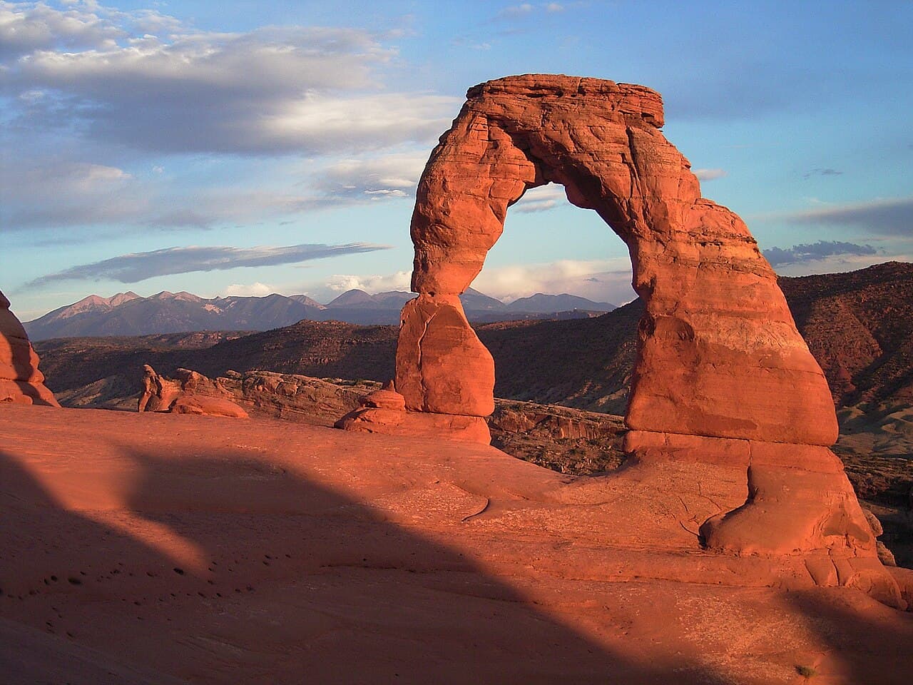
Mars on Earth. Red rock arches, canyon mazes, and a Milky Way sky so bright it feels fake. Moab is the adventure hub (mountain biking, canyoneering, rafting) with two national parks within 30 minutes in either direction. Some of the best free BLM camping in the US.
- Free dispersed camping on BLM land outside Moab's busy corridors. Near town (Hwy 128, Kane Creek, Potash Road, Sand Flats) you have to use campgrounds or designated sites, and campgrounds charge a fee
- Two world-class national parks within 30 miles of Moab
- Adventure options are endless: mountain biking, rafting, canyoneering, 4x4 trails
- Darkest sky area in the continental US. Milky Way photography that seems impossibly good
- Corona Arch gives Delicate Arch views without the crowds
Camping near Arches & Canyonlands Loop
BLM: Canyon Rims Recreation Area (Hatch Point)
BLM Canyon Country District
Jaw-dropping views into Canyonlands from the Canyon Rims area. Hatch Point Campground has 10 first-come sites at $20 a night with a vault toilet and no drinking water, so bring all of it. 14-night limit.
How to get there
From US-191 south of Moab, take UT-211 west. Turn onto the Canyon Rims Access Road (paved). Hatch Point is ~24 miles in.
BLM: Monitor & Merrimac Trail Area
BLM Moab Field Office
Classic Moab red rock country about 15 miles north of town, near the Mill Canyon dinosaur tracks. Near Moab, camping is limited to campgrounds and designated sites (marked with a tent symbol on a brown post), so don't just pull off the road. Courthouse Rock Campground nearby is $20 a night. 14-night limit, and a portable toilet or waste bags are required for dispersed camping.
How to get there
From Moab, drive US-191 north about 15 miles to the signed Mill Canyon Road, then about a mile in to the Monitor and Merrimac trailhead. Within half a mile of UT-313 (the Dead Horse Point road) camping is limited to campgrounds and designated sites.
BLM: Lockhart Basin Road Dispersed
BLM Canyon Country District
Remote 4WD road dispersed camping along the canyon rim. Very few people, incredible views into Canyonlands. Requires high-clearance vehicle but rewards with total solitude.
How to get there
From Moab, take US-191 south to Ken's Lake, then follow signs to Lockhart Basin Road. High clearance 4WD required after the first few miles.
Dispersed camping ground rules
- Usually a 14-night limit in one area, then you move on
- Camp at least 200 ft from water, trails and roads
- Pack out all trash. Leave no trace.
- Check local fire restrictions before building a campfire
- No potable water: bring or filter everything you drink
Rules vary by forest and BLM field office, so check with the local ranger district or field office before you go.
Find more free spots
Get an app like iOverlander to find places to camp on public land for free in the states. Other campers post what's there, how rough the road is and whether a ranger moved them on.
- iOverlander (opens in a new tab)Free. Campsites reported by other travelers, with recent notes on access, signal and rangers.
- Campendium (opens in a new tab)Free to browse. A map of free campsites across the US, much of it on public land, with reviews.
Spots change. Read the newest reports and any posted rules before you set up, and pack out everything you bring in.
When to go
- January
- February
- March: best month
- April: best month
- May
- June: month to skip
- July: month to skip
- August: month to skip
- September
- October: best month
- November: best month
- December
WanderRank Scores
Daily Cost
$15 to $70
per day (food + transit)
Campsites: $20/night
or free on nearby public land
Entry fee: $35
Plus gas for the drive
Recommended Stay
4 to 8
days · moderate difficulty
Drive time from your airport
Avoid if
- You're going June–August, when temperatures regularly hit 110°F and trails close for safety
- You need Arches timed entry but didn't book. The reservation system sells out months ahead